Connect camera to see the map.
Drag to pan · right-click to rotate · wheel to zoom
v9.92
no media loaded
UI 2026-09-14 18:00
0 / 0
 GPS...



Smart Marine & Coastal Intelligence System
An AI-powered platform that monitors coastlines and marine environments in real time, drastically reducing pollution detection time from days to seconds — enabling rapid response and environmental protection.
We turn any video source into an intelligent early warning network to detect hydrocarbons and marine pollution anomalies before they become a disaster.
Satellite imagery and periodic patrols are vital, but they leave temporal windows of vulnerability. Between one inspection and the next, a fuel spill, plastic waste, or chemical anomaly can spread for kilometers.
At Hydro-K we don't seek to replace existing methods, but to complete the surveillance network: we close those time gaps by analyzing video continuously to deliver an immediate response.
By leveraging high-resolution RGB cameras — fixed coastal stations, drones, or vessel-mounted sensors — our detection models operate at a spatial precision that conventional satellite imagery cannot match. The result: earlier detection, finer classification, and faster action on the ground.
We train deep learning models capable of processing images in under one second per frame. Although our specialized core is hydrocarbon monitoring, our system is designed to identify multiple environmental anomalies on the water surface.
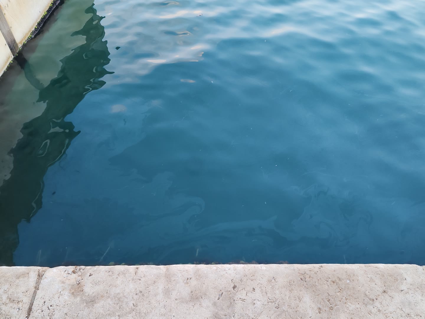
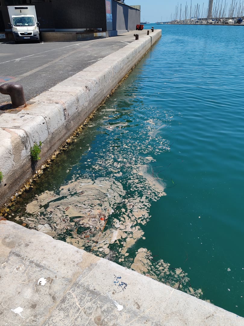
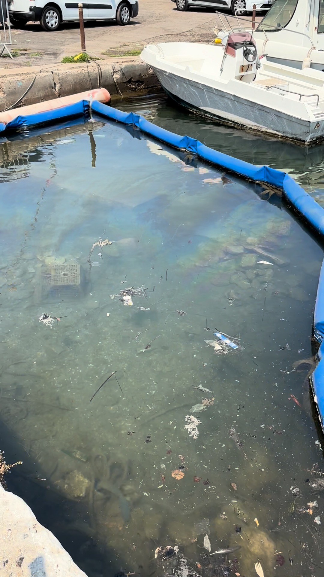
Heavy slicks, thin surface films (sheen), and contaminating foams. Our AI distinguishes each type of hydrocarbon with sub-meter precision and calibrated confidence levels.
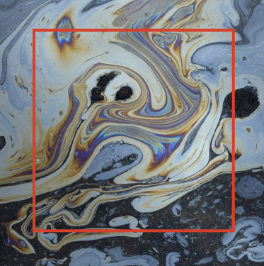
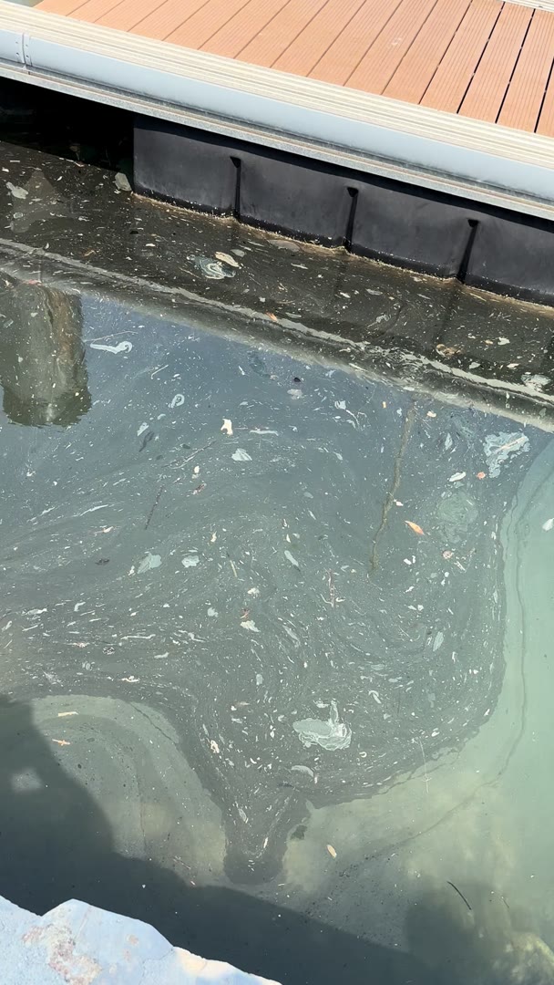
Floating debris, unusual discharges, and water alteration. Semantic segmentation identifies any anomaly on the surface that deviates from normal water patterns.
Real-time integration of AIS vessel tracking data to monitor port activity and maritime traffic. Correlate pollution events with nearby vessel movements, identify probable sources, and build a complete picture of the coastal environment — combining AI-powered video analysis with live maritime intelligence.
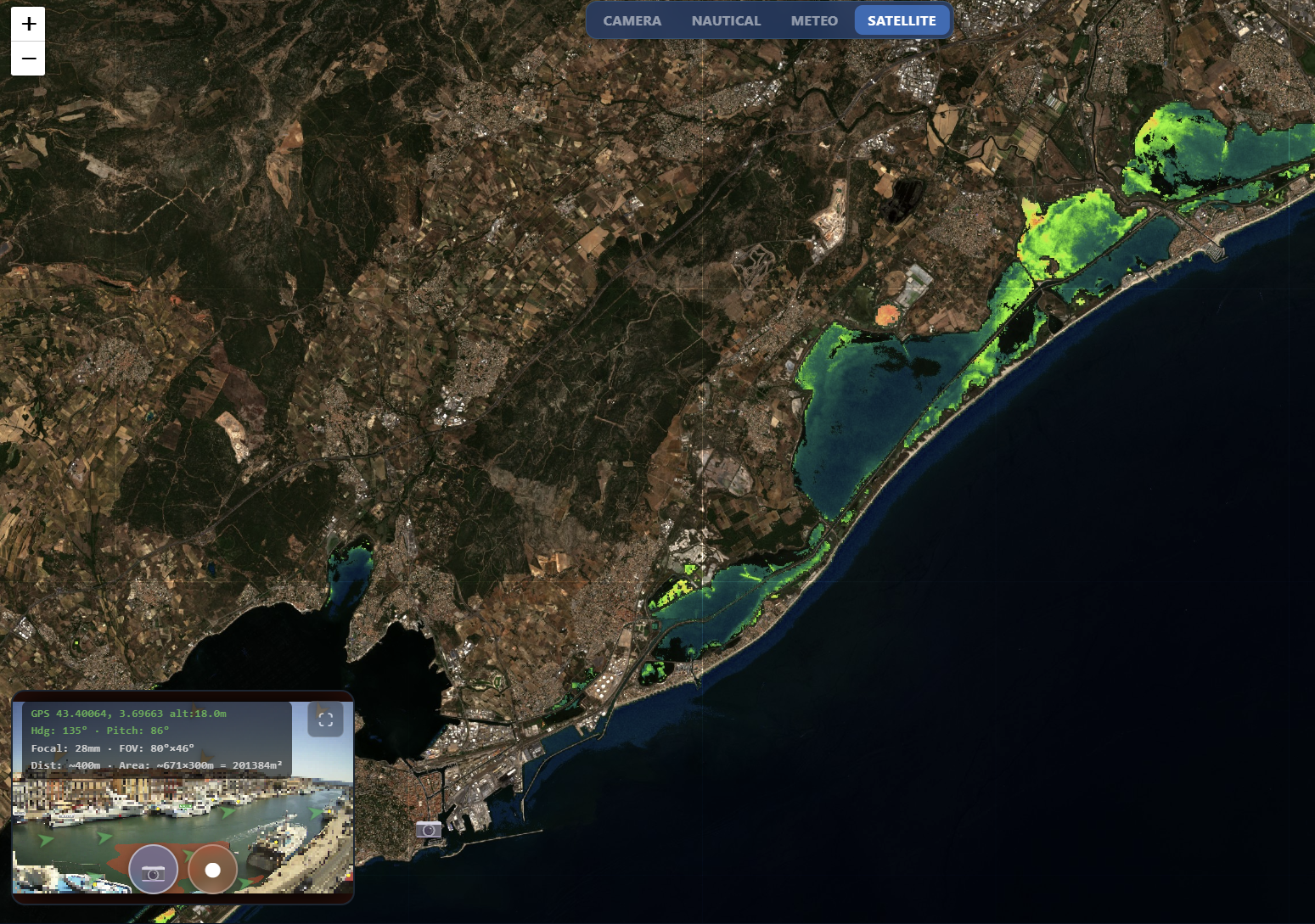
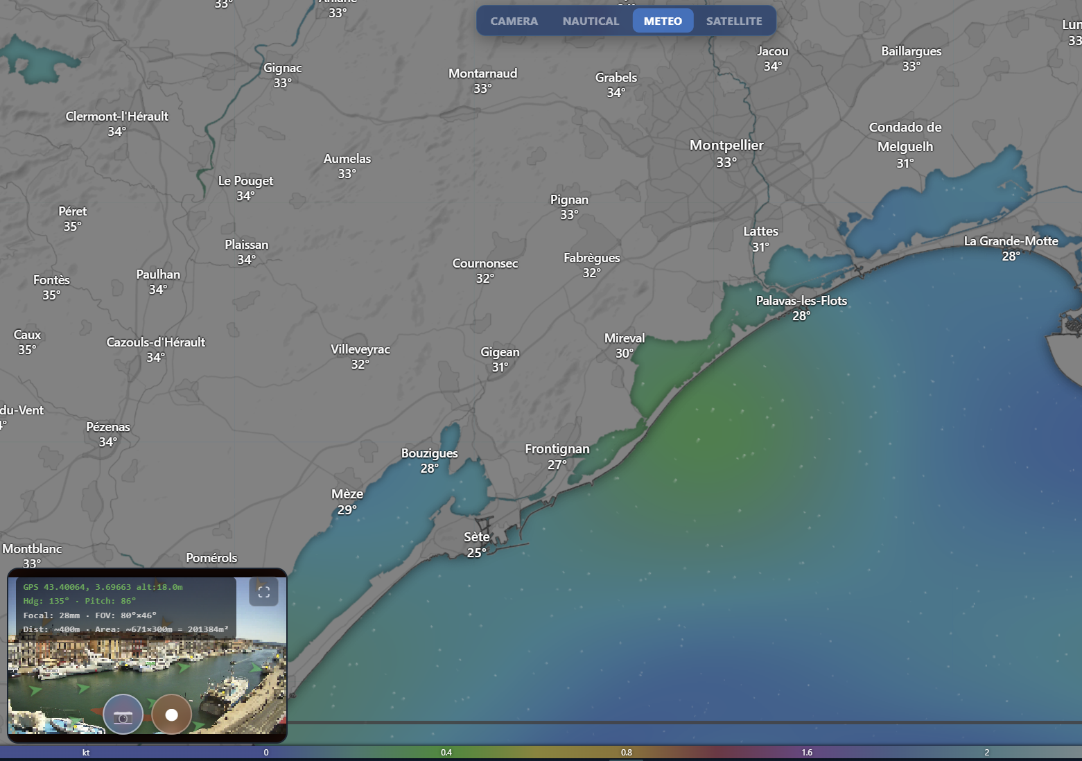
We complement our camera detections with satellite environmental layers from Copernicus and Sentinel missions — sea surface temperature, ocean currents, wind fields, chlorophyll concentration, and algae bloom indices. This multi-source approach provides a richer context for each pollution event, linking it to the surrounding environmental conditions.
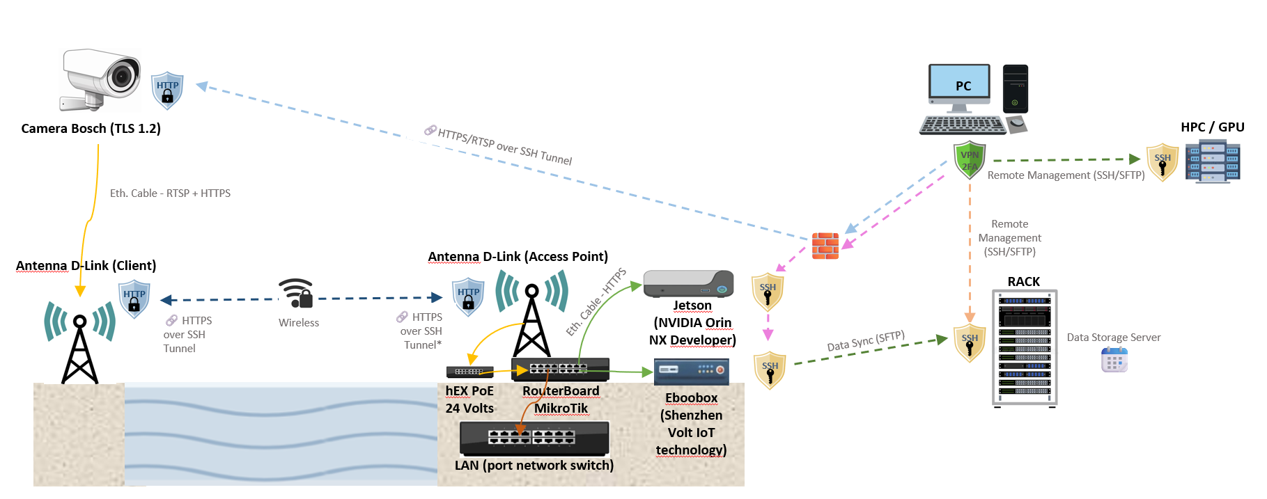
Fixed port cameras, inspection drones, ship-mounted sensors, or smartphones. Any video source becomes an intelligent surveillance node in the network.
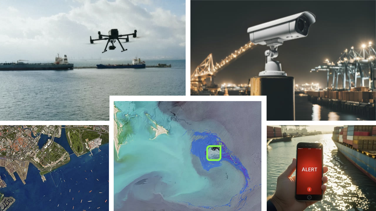
We don't just notify the problem; we deliver the context needed to act:
Precise tracing of the extent of any spill or anomaly. Every detection is geolocated on the interactive map in real time with coordinates, area, and confidence level.
Real-time correlation with maritime traffic to identify the source. Cross-referencing pollution events with nearby vessel positions, routes, and histories.
Advance modeling based on wind and ocean currents. Predict where contamination will spread in the coming hours to enable proactive containment.
Generation of geolocated, regulation-validated reports. Annotated images, GPS coordinates, weather data, and vessel traffic — exported as PDF ready for authorities.
Continuous monitoring of port basins and access channels. Automatic detection of bilge discharges, fueling spills, and illegal dumping with vessel identification via AIS correlation.
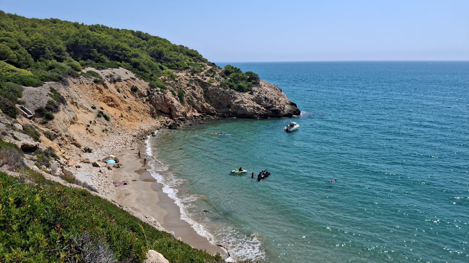
Fixed camera networks along sensitive coastlines — estuaries, marine reserves, bathing zones. Early warning system for offshore spills reaching shore, with drift prediction from current data.
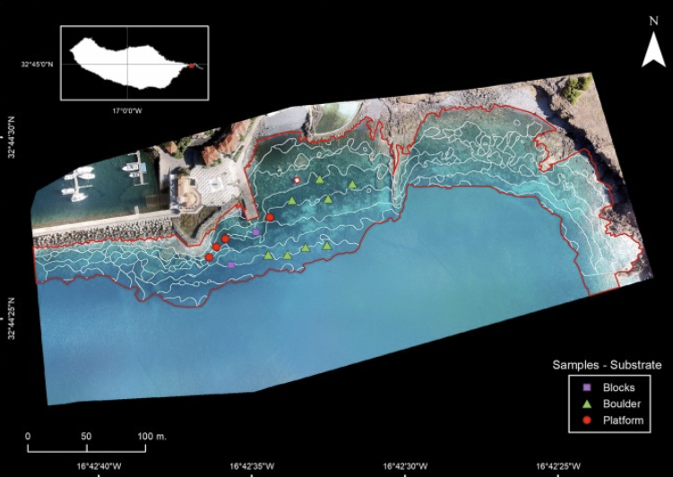
Process drone survey footage with GPS-tagged analysis. Map contamination extent over large areas, generate georeferenced cartography, and produce evidence-grade reports for environmental agencies.
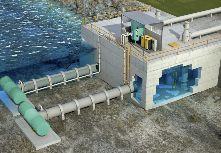
Monitor discharge points, intake zones, and effluent quality in real time. Detect oil sheens, foam, or anomalous discharges at treatment plant outlets and upstream intake areas to ensure compliance and protect downstream ecosystems.
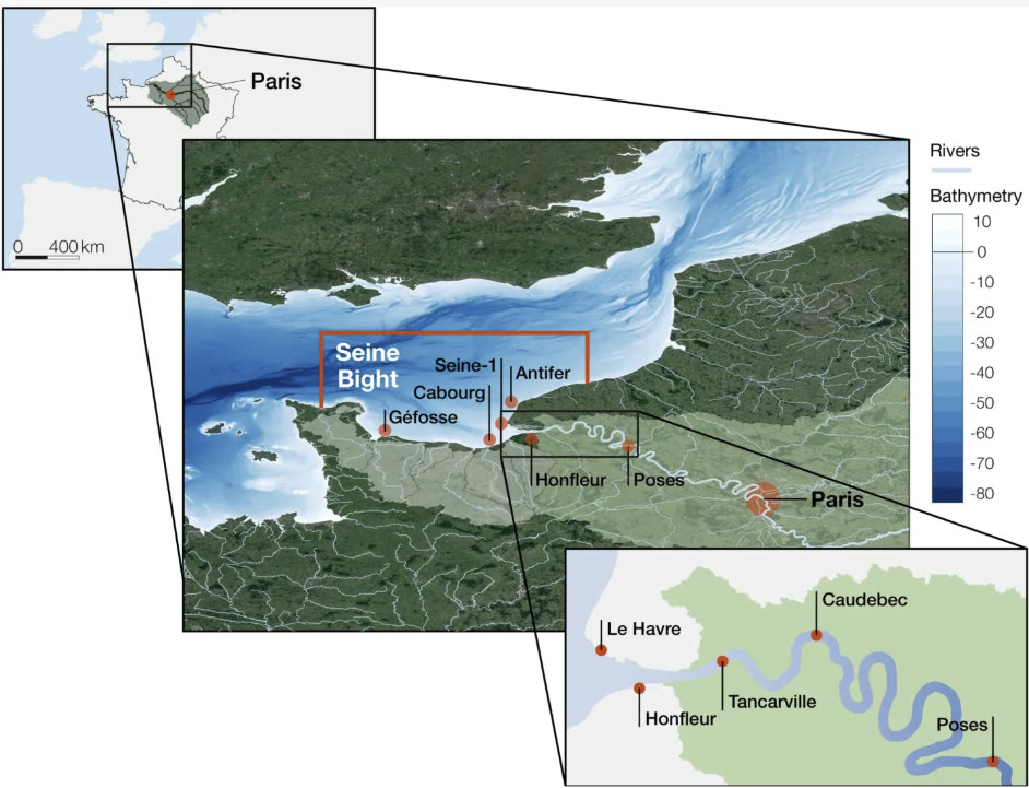
Deploy on rivers, estuaries, lakes, reservoirs, and protected marine areas. Continuous AI-powered water quality surveillance at ecologically sensitive locations — from Natura 2000 sites to drinking water sources.
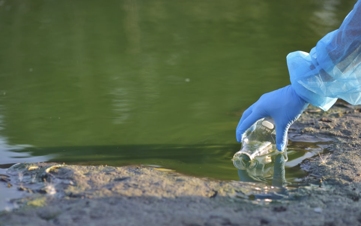
Anyone with a smartphone can contribute. Open the app, point at the water, and the AI instantly classifies what it sees. Reports are geolocated and timestamped, building a community-powered pollution map.
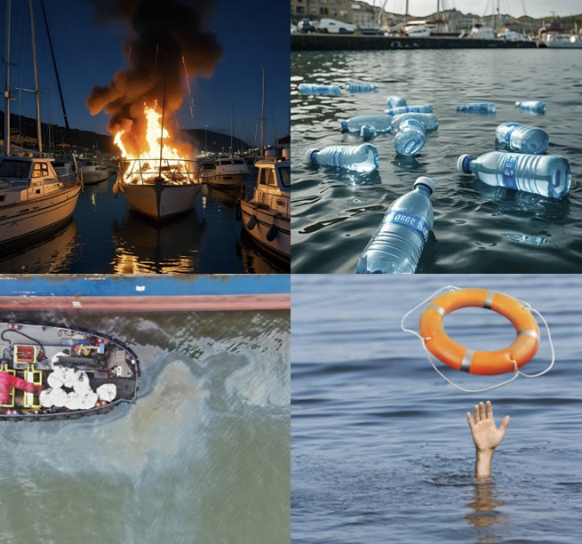
Our detection models scale to your specific requirements. Beyond hydrocarbons, we can train custom models for wildfire smoke detection, person-in-water alerts, vessel tracking, debris mapping, and any visual threat your environment demands — all integrated into the same real-time dashboard.
Tell us about your monitoring needs and we'll design the right solution.
Talk to our teamSupported by leading research institutions and innovation networks